

infrared (IR) imaging
Home / Tags
Recent Inquiries
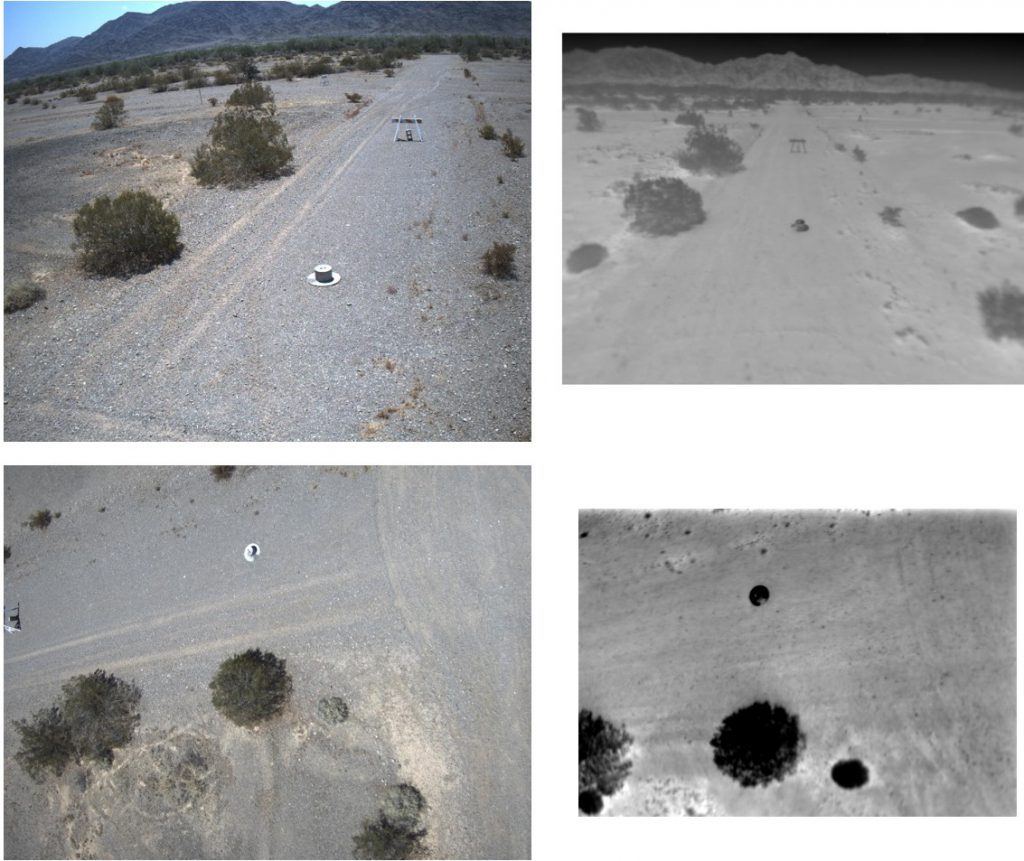
Available Thermal, Hyperspectral, or Polarimetric Imagery Datasets
The Defense Systems Information Analysis Center (DSIAC) was asked to identify unclassified LWIR, thermal imagery, or polarimetric datasets. DSIAC subject matter experts highlighted the available open-source or government, unclassified, thermal, hyperspectral LWIR, and polarimetric datasets…
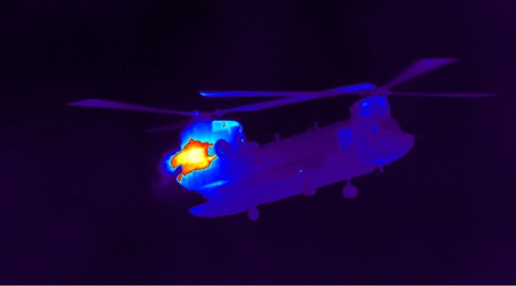
Thermal Imaging of Small Unmanned Aerial Vehicles (sUAVs)
The Defense Systems Information Analysis Center (DSIAC) was asked to locate long-wave infrared (LWIR) imagery of threat small unmanned aerial vehicles (sUAVs) to use for testing models in development. Detecting sUAVs in flight can…